
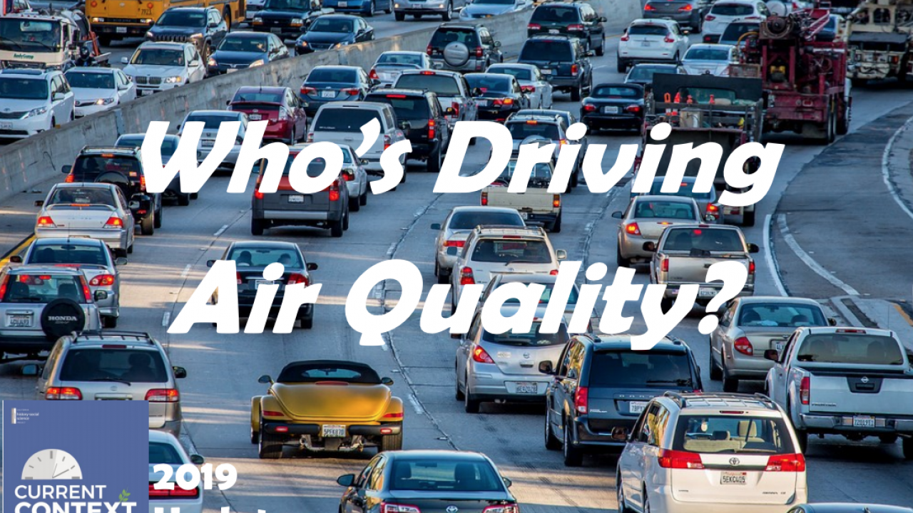
Auto Emission Standards (2019 update)
Abstract: The Trump Administration recently declared that California can no longer set its own auto emission standards for motor vehicles, as the state has been authorized to do for close to five decades. Instead, the administration believes only the federal government should have authority to set these standards. President Trump intends to set national standards that decrease fuel-efficiency (to 37 miles per gallon by 2025, rather than the 54 mpg that the current national and California standards call for). Gasoline-powered automobiles contribute to air pollution and climate change. When automobiles burn less fuel, they create less unhealthy pollution and generate smaller amounts of greenhouse gas emissions that speed climate change.
Teaching Suggestions:
There are a number of Education and the Environment Initiative lessons that will deepen student learning on the relationship between the environment and transportation, pollution, and government policy and regulations. See the final page of the issue for links to these lessons.
In addition, you may find the CalEPA CalEnviroScreen tool a helpful one for your classroom discussions linking issues of government regulations, economics, and history to current environmental concerns in the state.
What is CalEnviroScreen?
CalEnviroScreen is a mapping tool that helps identify California communities that are most affected by many sources of pollution, and where people are often especially vulnerable to pollution’s effects.
CalEnviroScreen uses environmental, health, and socioeconomic information to produce scores for every census tract in the state.
The scores are mapped so that different communities can be compared. An area with a high score is one that experiences a much higher pollution burden than areas with low scores.
CalEnviroScreen ranks communities based on data that are available from state and federal government sources.
Visit https://oehha.ca.gov/calenviroscreen to use the mapping tool to learn about pollution within your school’s zip code, or different areas of California.
As a class, you may want to consider what patterns are detectable among the areas of pollution? What industries or freeways exist within the areas shaded red and orange? What sort of industries are located within the areas shaded red and orange? What is the average cost of housing in these polluted areas versus the non-polluted areas? What questions do you have about this data? If you could speak to your city council or state legislature, what would you like to ask these elected officials, and what measures would you like to see them take to address these issues of pollution? What individual and collective efforts can we take to address these issues of air pollution?
The Center for Regional Change, at UC Davis, has put together another mapping tool to help better analyze and understand youth well-being throughout the state. You can learn more here: https://interact.regionalchange.ucdavis.edu/youth/index.html
If you are interested in learning more about environmental justice as it relates to the history-social science classroom, see pages 26-27 in the latest edition of CHSSP's The Source Magazine on environmental literacy.
Finally, the New York Times created a detailed map of auto emissions in the United States, including graphs that chart emissions by metro regions.